Gis.jacksoncounty.org
Visit gis.jacksoncounty.org-
280
Daily Visitors
-
2 months ago
Last scanned
-
No data
Domain Age
-
No data
Global Rank
Gis.jacksoncounty.org
Visit gis.jacksoncounty.org
About Website
Updated:
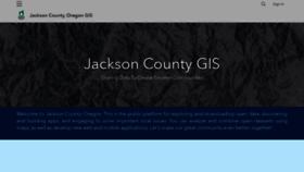
Jackson County, Oregon Open GIS
Jackson County, Oregon Open GIS data portal provides access to spatial data and web maps to the public.

Network Data
This website is hosted with Jackson County, which reserves the following IP addresses for gis.jacksoncounty.org: 207.109.247.107. Subnet identifier ranges from 207.109.247.104 to 207.109.247.111. Classless Inter-Domain Routing (CIDR) is 207.109.247.104/29. ARIN net type is Reassigned.
-
280
Daily Visitors
-
2 months ago
Last scanned
-
No data
Domain Age
-
No data
Global Rank
Whois
At present, the WHOIS information for gis.jacksoncounty.org is unfortunately not available. Due to various potential reasons such as privacy protections, data maintenance, or registrar restrictions, we are unable to provide specific details about gis.jacksoncounty.org's registration and ownership status at this time.
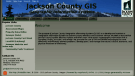
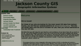
Gis.jacksoncounty.org Homepage Change Through The Years
-
8 years ago
Oct 14, 2015
-

7 years ago
Nov 30, 2016
-
6 years ago
Oct 22, 2017
-
4 years ago
May 20, 2020