Aerial-survey-photography.co.za
Visit aerial-survey-photography.co.za-
9 months ago
Last scanned
-
No data
Domain Age
-
No data
Daily Visitors
-
No data
Global Rank
Aerial-survey-photography.co.za
Visit aerial-survey-photography.co.za
About Website
Updated:
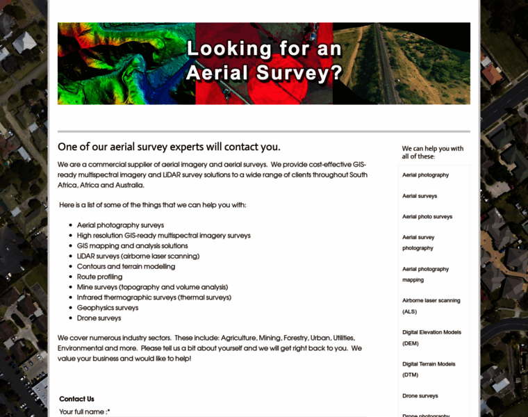
One of our aerial survey experts will contact you.
aerial mapping, aerial photography, aerial survey, multispectral imagery, LiDAR survey, Infrared thermographic survey, Geophysics survey, LiDAR map, Digital Elevation Model, Digital Terrain Model, Mine survey, Remote aerial sensing, GIS mapping
Network Data
This website is hosted with Google LLC, which reserves the following IP addresses for aerial-survey-photography.co.za: 35.189.242.74. Moreover, DNS used with this website include ns269.websitewelcome.com, ns270.websitewelcome.com. Subnet identifier ranges from 35.184.0.0 to 35.191.255.255. Classless Inter-Domain Routing (CIDR) is 35.184.0.0/13. ARIN net type is Direct Allocation.
-
9 months ago
Last scanned
-
No data
Domain Age
-
No data
Daily Visitors
-
No data
Global Rank
Network
ADDRESSING DETAILS
-
Hosting Company
-
IPs
-
DNS
ns269.websitewelcome.com
ns270.websitewelcome.com
Whois
At present, the WHOIS information for aerial-survey-photography.co.za is unfortunately not available. Due to various potential reasons such as privacy protections, data maintenance, or registrar restrictions, we are unable to provide specific details about aerial-survey-photography.co.za's registration and ownership status at this time.
Domain & Keywords
- aerial photography
- GIS Mapping
- digital elevation model
- Aerial Survey
- multispectral imagery
- aerial mapping
- digital terrain model
- lidar map
- lidar survey
- geophysics survey
Websites similar to aerial-survey-photography.co.za
-
 dronehire.org
-
Global rank
N/A
-
Daily Visitors
N/A
-
-
 dronesforhire.com.au
-
Global rank
N/A
-
Daily Visitors
1.2K
-
-
 vls-inc.com
-
Global rank
N/A
-
Daily Visitors
N/A
-
-
 satimagingcorp.com
-
Global rank
270.2K
-
Daily Visitors
1.6K
-
-
 geostore.com
-
Global rank
N/A
-
Daily Visitors
534
-

